
MeTravel city quest
Khotomlya Lakes Quest: The Holy Lake and the Bells Beneath the Water
Lake Khotomlya (Kruhlaye District): a free walking route “Khotomlya Lakes Quest: The Holy Lake and the…” past the sights. Self-guided, any day, no booking.
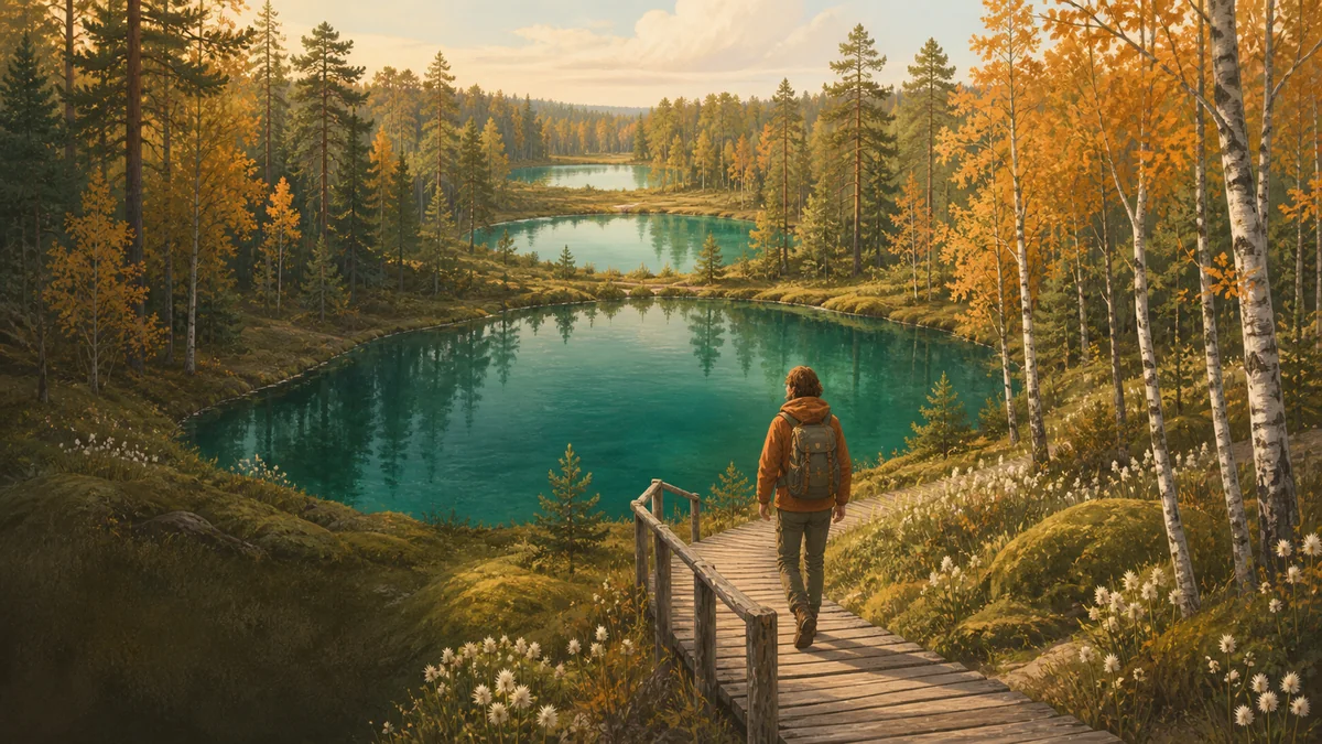
Four glacial lakes lie in this forest: Pustoye, Khotomlya, Sredneye and Ovsishchenskoye. They are all about ten thousand years old, their water has the same origin and the forest around them is the same. Yet only one of them has been called the Holy Lake for generations: Khotomlya.
People say a village with a church once stood here and sank into the ground whole, and water of extraordinary clarity rose over it. Local historians have also recorded other versions: a golden cart on the bottom, and “бомы званоў”, the muffled ringing of bells from under the water on a very quiet day. There used to be a spring nearby with a wooden chapel, and people went to the water to pray and wash.
The riddle of this quest sounds simple: why did this lake become the Holy one, and not the three next to it? The answer is not in books. You will have to collect it on the shore. At three stops you will find three keys: who recognised this lake as valuable, how much land and water people undertook to protect, and what was done for those who walk down to the water. At the end, by Pustoye Lake, the keys will come together.
GETTING THERE. From Minsk take the M4 to Bialynichy, then head for Shepelevichi: about 157 km, roughly 2 hours. From Shepelevichi a forest road, the H13656, heads west; in dry weather an ordinary car can drive it. After 2.5–3 km it forks by blue posts with signs, and that is the first stop. Leave the car by the roadside. After rain the road turns to mud: then leave the car at the forest edge (54.116870, 29.546906) and walk about 2.4 km.
THE ROUTE. The required part is about 1.6 km one way along a dry forest road and the shore: from the fork south along Khotomlya to Pustoye, and the same distance back the same way, about 3.2 km in all. The two optional stops, the paths to Sredneye and Ovsishchenskoye, add about 3 km more through wet forest; go there only in rubber boots.
WHAT TO BRING. Water and a snack: there are no springs or shops in the forest, and the last shop is “Родны Кут” in Shepelevichi (54.127432, 29.559280). On the east shore there is a shelter with a table, a handy place for a bite to eat. In summer, bring repellent against mosquitoes and horseflies.
WHEN TO GO. Late September and October: it is dry, there are no biting insects and mushrooms are in season. Khotomlya is a natural monument: pick nothing and leave nothing behind.
- City: Lake Khotomlya (Kruhlaye District)
- Route: 9 points
- Time: about 2 h 30 min
- Start: Forest between the villages of Shepelevichi and Hoyenka, Kruhlaye District
- Format: self-guided, any day, no booking
What is on the route
The route points in order — what these places are and why they are interesting. Tasks and answers stay inside the quest.
The diamond on the blue post — Fork of the forest road H13656 northeast of Khotomlya, a yellow diamond on a blue post by the roadside
The forest road from Shepelevichi forks here, and by the roadside stands a blue post with a yellow diamond in a dashed green border. This is the boundary: beyond it begins a protected area, a natural monument.
The big yellow sign — Roadside of forest road H13656 at the fork, northwest of the diamond: a large natural-monument sign on two posts
Next to the diamond, on two blue posts, hangs a big yellow sign, and beside it a smaller plaque about litter and video surveillance. The sign has stood here a long time and speaks about the lake in the language of a district executive committee decision: when the monument was established, why, and what is forbidden here.
Optional: Sredneye Lake — Path from the northeast corner of Khotomlya heading north, about 1 km to the east shore of Sredneye
This stop is for those who came in rubber boots and want to see the neighbours of the Holy Lake. From the fork, go down to the northeast corner of Khotomlya: a path leads north from there, about a kilometre to Sredneye.
Optional: Ovsishchenskoye Lake — Continuation of the path beyond Sredneye, southern approach to Ovsishchenskoye Lake
About six hundred metres further north is the farthest lake in the chain, Ovsishchenskoye, named after the village of Ovsishche a kilometre and a half to the northwest. It is a little larger than Sredneye, about two hundred metres long.
The shelter and the walkway: a place to listen — East shore of Khotomlya: a clearing with a green shelter and tables, with a wooden walkway platform leading from it to the water
From the fork the road leads under tall pines to a clearing with a green shelter, a table and benches, and one more table beside it. This is a rest area kept by Shepelevichi Forestry: families come here, and it is a handy place for a snack.
The way down to the water through the reeds — East shore of Khotomlya, about 80 m south of the shelter: a long wooden walkway from the pines through the reeds to the water
Walk south along the shore, about eighty metres from the shelter. Here a long wooden walkway stretches from the pines to the water: the shore is boggy, the reeds stand like a wall, and without the boards you could not get to the lake.
The walkway in the reeds: where to look for the cart — Southeast shore of Khotomlya, about 150 m south of the previous walkway: a wooden walkway through the reeds by the southern rest area
About a hundred and fifty metres further south is the last way down to the water on this shore: again a wooden walkway through a belt of reeds. From here you can see the whole length of the lake, as far as the southern and western shores, where the road goes next.
Optional: the southwest shore — Southwest edge of Khotomlya, where the forest road H13656 comes closest to the water
From the southern rest area the road skirts the lake and heads southwest, to Pustoye. Here it comes closest to the water from the other side: you can turn off to the shore for a minute and look back at the east shore, where you have just been.
Pustoye: the lake nobody came to — East shore of Pustoye Lake, by the forest road H13656 south of Khotomlya
The last stop is little Pustoye Lake, about a hundred metres long and visible whole from a single spot. The same glacial basin, the same age, the same water that flows into the Oslik River and on into the Drut.
Where to go next
This route is part of MeTravel city quests. Below are the other quests in this city and cities with quests nearby.
Quests in nearby cities
Travels: Lake Khotomlya (Kruhlaye District)
Traveller articles about this city will help round out the walk.