
MeTravel city quest
A Göreme quest: fairy chimneys and the volcanoes of Cappadocia
Göreme: a free walking route “A Göreme quest: fairy chimneys and the volcanoes of Cappadocia” past the sights. Self-guided, any day, no booking. 10 points.
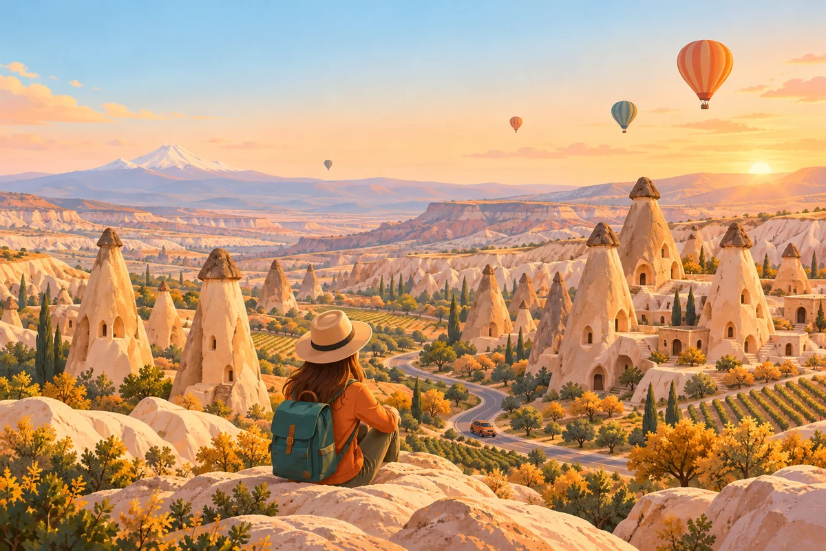
Cappadocia is known as the land of fairy chimneys — peri bacaları in Turkish. According to one belief, fairies lived right inside the pale pillars, and the smoke above their tops came from magical hearths. Another says that the fairies hid underground and the pillars were the chimneys of their underground homes. Scientists tell a different story: the volcanoes Erciyes, Hasan and Göllüdağ covered this plateau in ash, the ash compressed into soft tuff, and wind, rain and rivers carved it into cones, mushrooms and entire rock cities. For centuries people cut homes, churches, storerooms and birdhouses into the yielding rock, and in 1985 Göreme National Park and the Rock Sites of Cappadocia joined the UNESCO World Heritage List. A popular explanation translates the name Cappadocia from Persian as “the land of beautiful horses”, though linguists dispute this.
Today you will drive a loop of about 40 kilometres: Göreme — Çavuşin — Paşabağ — Avanos — Devrent Valley — Ürgüp — Uçhisar, then another 4 kilometres back to Göreme. Along the way you will find a monastery in the rocks, a valley of hermits, the potters of the red river, a valley of imagination, a legend of fugitives turned to rock, and a rock fortress — the highest point above the valleys of Göreme.
What to do: 1) Read the story and task at each stop. 2) Drive to the stop using the map and leave your car in the car park: the walk from the parking area to the sight is no more than 300 metres. 3) Look around and answer the question.
Two sites charge admission — Göreme Open-Air Museum and Paşabağ Valley: the tasks there are completed outside, by the entrance, and you can buy a ticket to go inside if you wish. With stops, the route takes 5–6 hours. Hot-air balloons rise above the valleys at dawn, so a convenient time to start is just after them. In winter the roads can be slippery and some village cafés close: bring water and a snack. Avanos, roughly halfway along the route, is the most convenient lunch stop. We begin at the gates of the open-air museum.
- City: Göreme
- Route: 10 points
- Time: about 5 h
- Start: Göreme
- Format: self-guided, any day, no booking
What is on the route
The route points in order — what these places are and why they are interesting. Tasks and answers stay inside the quest.
A monastery in the rocks — Göreme Open-Air Museum, the area by the gates and ticket office
Ahead of you are the gates of Göreme Open-Air Museum — a small valley whose pale rocks are cut through with doors, windows and stairways. Inside are dozens of churches, chapels and refectories carved straight into the soft rock and painted with frescoes.
Opening hours: daily 08:00–17:45; the ticket office closes at 17:15 · Ticket: paid admission; prices for foreign visitors are in euros (around 20 € in 2025–2026); the Dark Church requires a separate ticket; MüzeKart is available to Turkish citizens
The village that moved out of the cliff — Çavuşin, the area at the foot of the old village cliff, beside the drinking fountain
A rock face riddled with dark openings rises above the new houses of Çavuşin: this is the old village, carved straight into the cliff. Just below the rim you can see the arch of the Church of St John the Baptist — one of the oldest and largest cave churches in Cappadocia.
The valley of hermits — Paşabağ, the area by the ticket office and turnstile, beside the car park on the road to Zelve
Beyond the fence by the ticket office rise the pillars of Paşabağ — tall, pale cones, many with two or three heads with dark tops. The site's official name is Paşabağları, and it was formerly called the Valley of the Priests: monks carved chapels and living cells into the pillars.
Opening hours: daily 08:00–18:00; the ticket office closes at 17:15 · Ticket: combined ticket with Zelve Museum; around 12 € for foreign visitors (2025–2026); MüzeKart is available to Turkish citizens
The old bridge of Avanos — Avanos, the riverside by the historic Taşköprü bridge, north bank
The old bridge of Avanos spans the Kızılırmak — the longest river in Turkey. It was built in 1900, under Sultan Abdülhamid II: its 152-metre deck rests on eleven piers standing right in the river.
A break: kebab in a clay pot (optional) — Ocakbaşı Urfa Sofrası, Atatürk Caddesi, Çarşı Meydanı 13, Avanos
Ocakbaşı Urfa Sofrası is a grill restaurant on the central square of Avanos, a few steps from the monument to potters. It has a Google Maps rating of 4.3 from more than three thousand reviews and opens daily from 8 in the morning to 10 in the evening.
Opening hours: daily 08:00–22:00 (according to Google Maps)
The monument to potters — Avanos, the central square, the monument to potters and women weavers beneath a canopy
In the middle of the square, beneath a canopy, stands a monument to the potters and women weavers of Avanos, modelled from the same clay that lies on the riverbed. At the top sits a craftsman holding a vessel in the making, with finished jugs beside him, while below a mother and daughter weave a carpet on an upright frame.
The valley of imagination — Devrent Valley, the roadside on the Avanos–Ürgüp road, by the largest animal-shaped rock
Devrent Valley lies right beside the road from Avanos to Ürgüp: pinkish cones and ridges crowd together here like animals frozen in place. Unlike the neighbouring valleys, there are almost no carved churches or homes here — these rocks remain just as wind and water shaped them.
The fugitives at the entrance to Ürgüp — Üç Güzeller viewpoint on the Nevşehir–Ürgüp road, at the western entrance to Ürgüp
From the wooden viewing platform you can see three pillars standing together: two tall ones and a third, shorter one. They are called Üç Güzeller — “Three Beauties” — and the group is considered one of the symbols of Cappadocia.
The valley of little windows — Uçhisar, the eastern edge of the village above the valley, about 250 m from the square by the fortress
From the eastern edge of Uçhisar you can see a deep valley with white and pinkish slopes stretching from the foot of the rock fortress towards Göreme. Look closely and you will notice hundreds of little dark windows cut in rows just below the ridges of its cliffs.
The roof of Cappadocia — Uçhisar, the square by the entrance to the rock fortress
Uçhisar's rock fortress towers over the village like a giant jagged tooth, riddled with windows, passages and collapsed rooms. It is the highest point above the valleys of Göreme, which is why it is called the roof of Cappadocia.
Opening hours: daily from 07:00; closing time depends on the season — see the website of Uçhisar municipality
Where to go next
This route is part of MeTravel city quests. Below are the other quests in this city and cities with quests nearby.